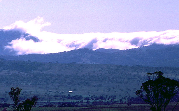
This photo shows a Foehn Wall over the Liverpool Ranges in the upper Hunter Valley. Stratiform clouds on the far side of the ranges are just spilling over the top. The ranges are effectively damming the lower layer of moist air, allowing higher, dry air to flow over the top and the then descend towards the observer. Adiabatic warming produces marked difference in surface weather between the two sides of the ranges.
Situation Unit Officer
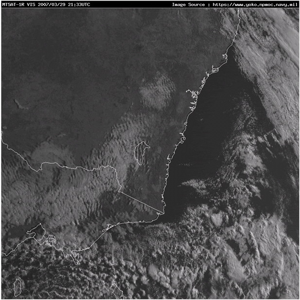
The image shows striated, transverse cloud bands which are all upwind of the main range lines. Their upwind formation hints at them not being mountain wind waves. The downwind edge coincides with the main range and indicates a Foehn Wall.