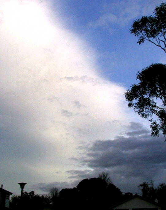
This photo shows two processes. Winds are blowing from right-to-left. The low grey clouds to the right are geostationary stratocumulus bands at about 2km AGL in the Foehn Gap. The bright cloud to the left in the Foehn Arch, composed of a cirrostratus shelf at over 10km AGL with a geostationary upwind edge.
Situation Unit Officer
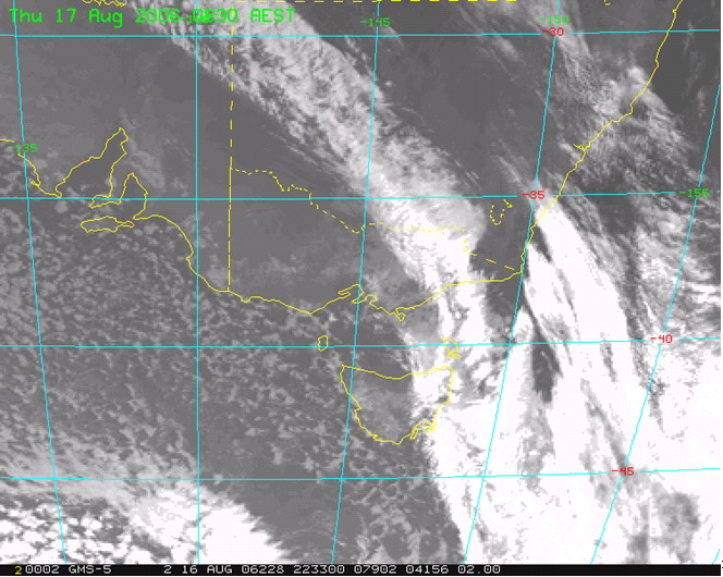
Visible satellite image showing a Foehn event. West and South of the ACT is the Foehn Wall along the top of the main range. Near the coast is the Foehn Arch, the nearly linear western edge of the high altitude cloud shelf. In between is the Foehn Gap, sparsely populated with clouds. Note how the Gap is a significant break in an extensive band of frontal cloud. The effect of terrain remains somewhat stationary as the cloud band moves overhead.